We had freezing fog all day, visibility was 1/2 mile. It finally blew out about 3:00 today, I found where it went!
The Bitterroot/Missoula valleys were clear, the Flathead valley was socked in these pictures are between Missoula, Evaro, and St Ignatious Montana
The ski hill is the top/western side of Montana Snowbowl just north of Missoula.
cruising Altitude 9,500. You guys down in FL enjoy the weather, I'll take these views, You are seeing the Mission mountain range on the flathead indian reservation the Rattlesnake wilderness area and the south, western end of the Bob Marshall wilderness area. This is when engine out procedures involve religion.
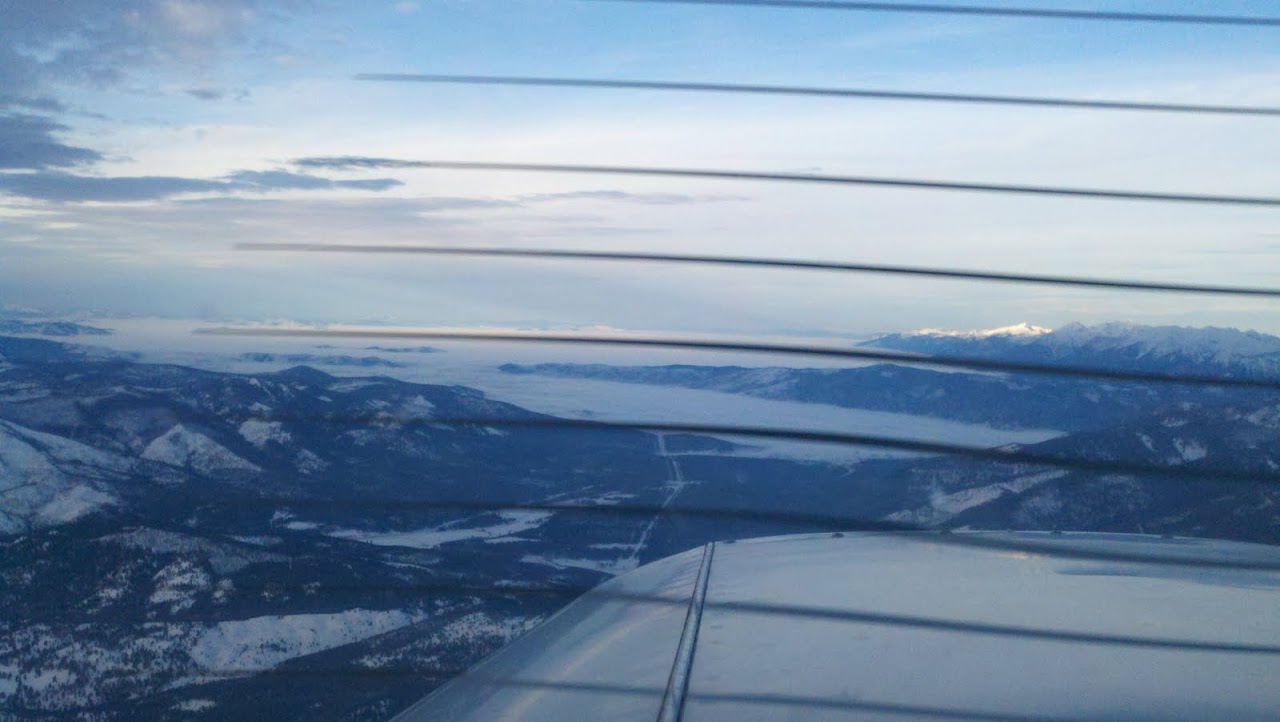
On a heading of about 360 The hole in front of me is evaro Montana, to the east out of view is montana snowbol
Over Evaro Montana
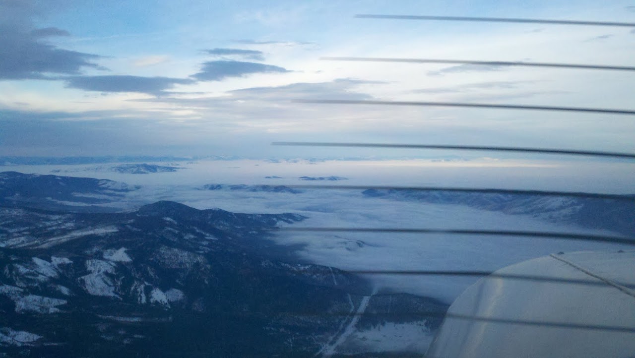
Over Evaro, just under the fog, is Arlee Montana.
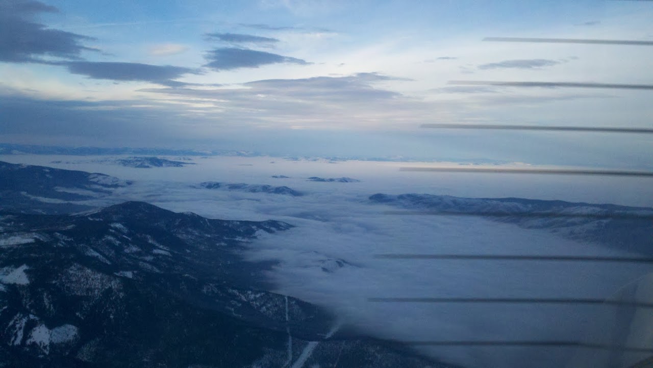
South of Arlee
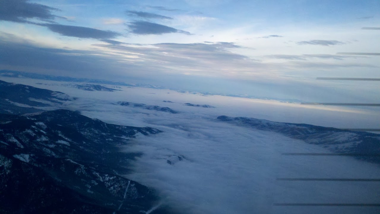
approaching Arlee
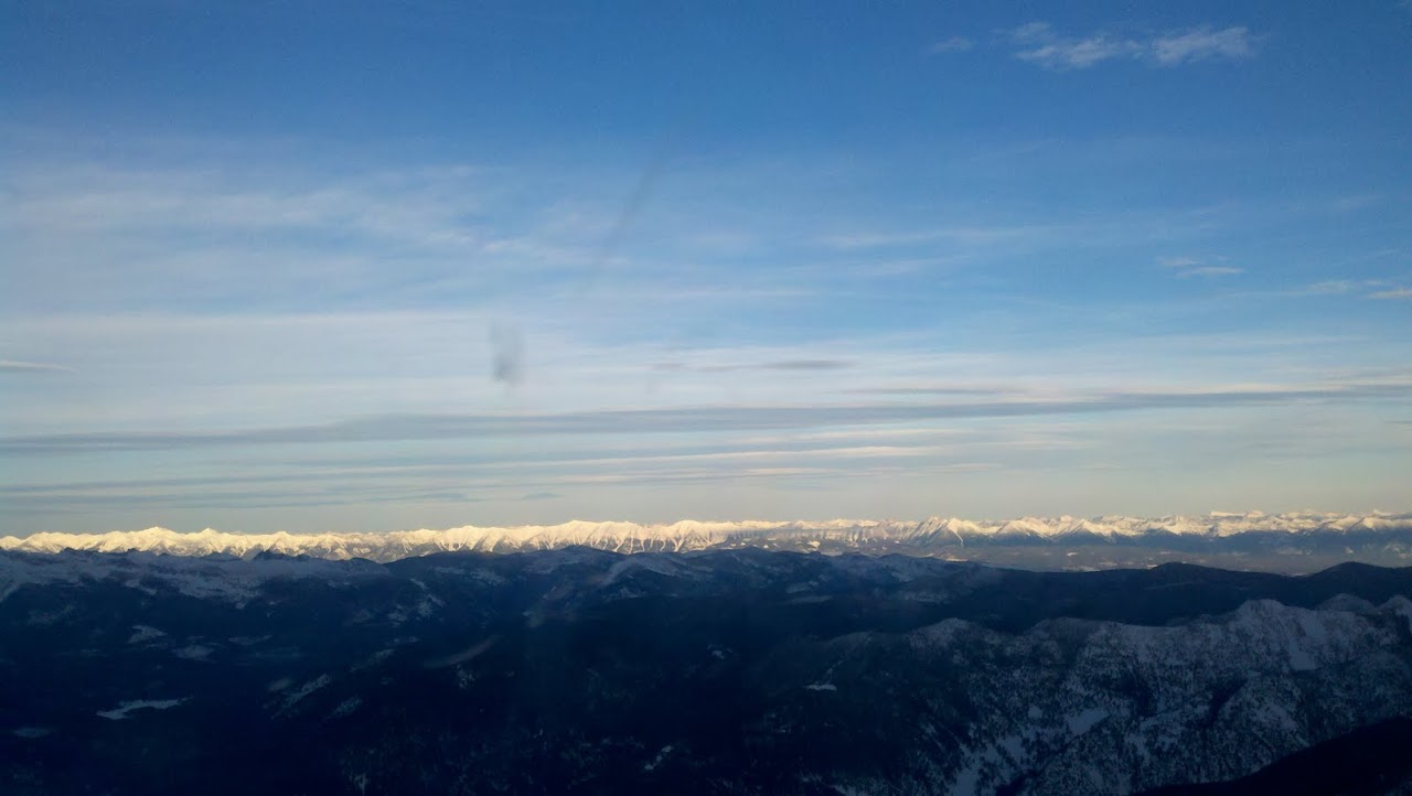
The south end of the Mission mountains just beyond them, The bob Marshall wilderness
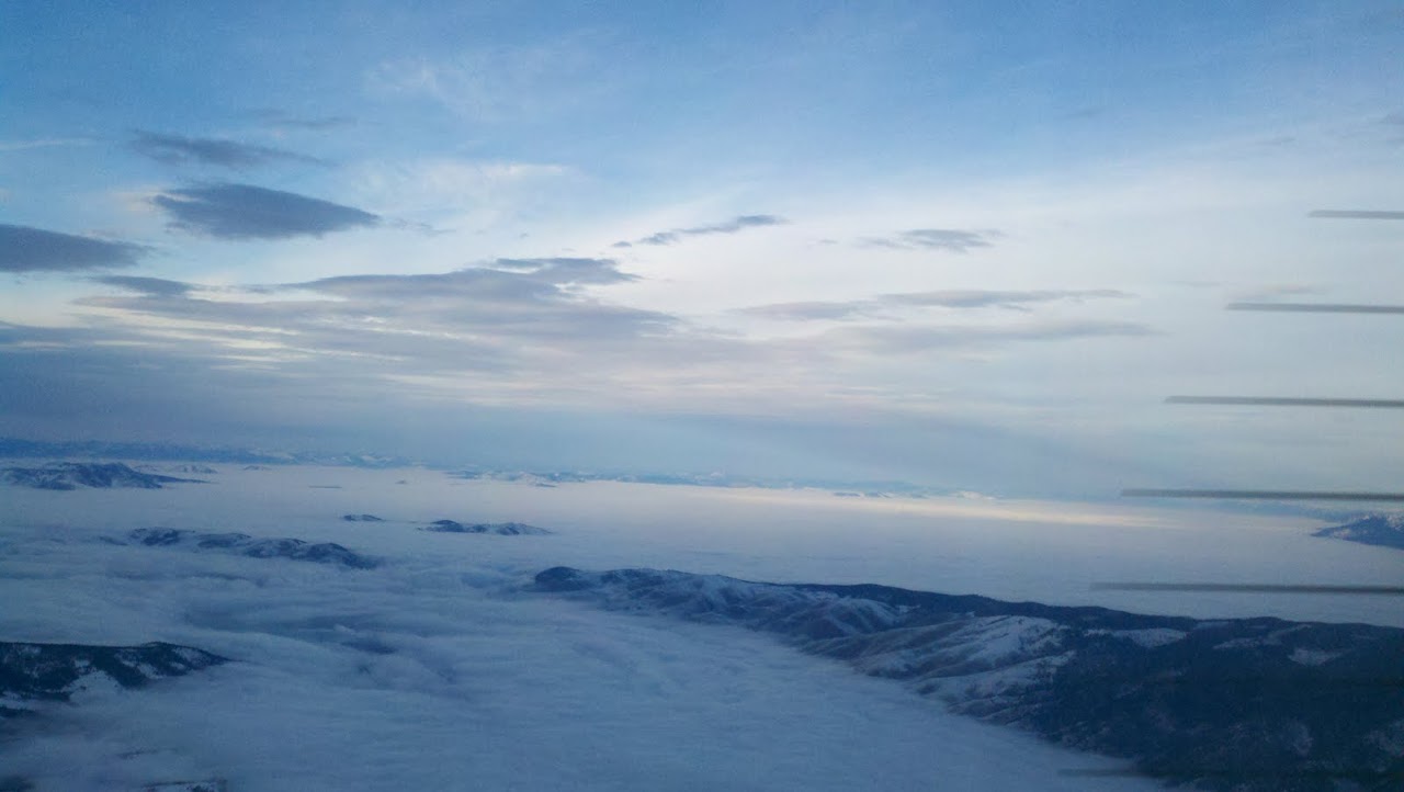
Over Arlee, just south of St Ignatious.
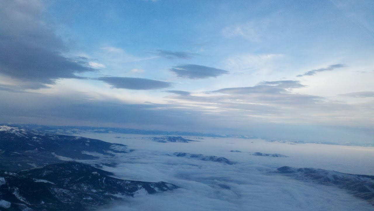
6NM south of St Ignatious still on heading 360
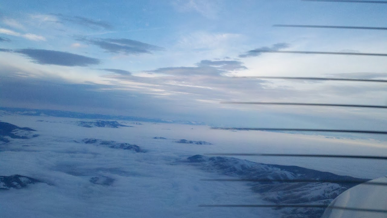
Hugging the western side of the missions on heading 360, i flew past St. Ignatiouns then did a 180 about in the middle of the white stuff in the picture over the flathhead valley
then flew a heading of 180 back. (got to be obvious I wasn't going to land at Ronan and my engine started to sound funny, it always does when Im over terrain and weather like this )
)
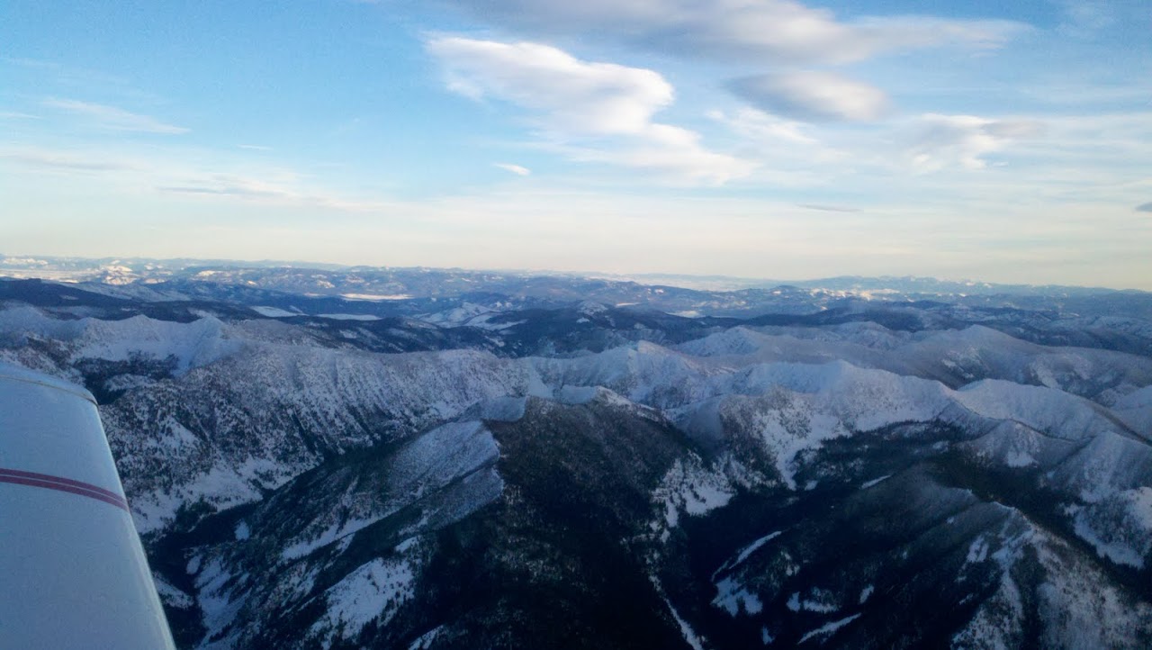
Heading 180, back to 32S, this is the south end of the missons/rattlesnake wilderness to the east of me.
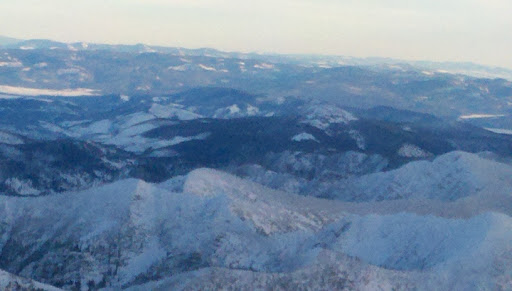
Rattlesnake, I take the snowbowl lift up and back country ski in this area.
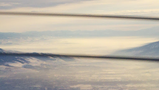
Missoula valley, haze. I could see the frontal system to the west and the turbulence was letting me know it was coming.
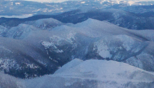
Point Six, and Jenny Bowl some fine skiing to be had a short bootpack/skin off the snowbowl lift.
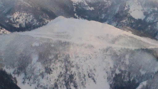
Point Six, this is where there MSO radar is, it has the nickname death star.
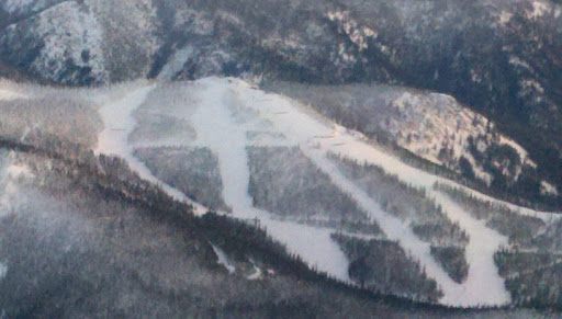
The easy runs at snowbowl, The funny part is, you have to get back down and that isnt easy.
The Bitterroot/Missoula valleys were clear, the Flathead valley was socked in these pictures are between Missoula, Evaro, and St Ignatious Montana
The ski hill is the top/western side of Montana Snowbowl just north of Missoula.
cruising Altitude 9,500. You guys down in FL enjoy the weather, I'll take these views, You are seeing the Mission mountain range on the flathead indian reservation the Rattlesnake wilderness area and the south, western end of the Bob Marshall wilderness area. This is when engine out procedures involve religion.

On a heading of about 360 The hole in front of me is evaro Montana, to the east out of view is montana snowbol

Over Evaro Montana

Over Evaro, just under the fog, is Arlee Montana.

South of Arlee

approaching Arlee

The south end of the Mission mountains just beyond them, The bob Marshall wilderness

Over Arlee, just south of St Ignatious.

6NM south of St Ignatious still on heading 360

Hugging the western side of the missions on heading 360, i flew past St. Ignatiouns then did a 180 about in the middle of the white stuff in the picture over the flathhead valley
then flew a heading of 180 back. (got to be obvious I wasn't going to land at Ronan and my engine started to sound funny, it always does when Im over terrain and weather like this

Heading 180, back to 32S, this is the south end of the missons/rattlesnake wilderness to the east of me.

Rattlesnake, I take the snowbowl lift up and back country ski in this area.

Missoula valley, haze. I could see the frontal system to the west and the turbulence was letting me know it was coming.

Point Six, and Jenny Bowl some fine skiing to be had a short bootpack/skin off the snowbowl lift.

Point Six, this is where there MSO radar is, it has the nickname death star.

The easy runs at snowbowl, The funny part is, you have to get back down and that isnt easy.


